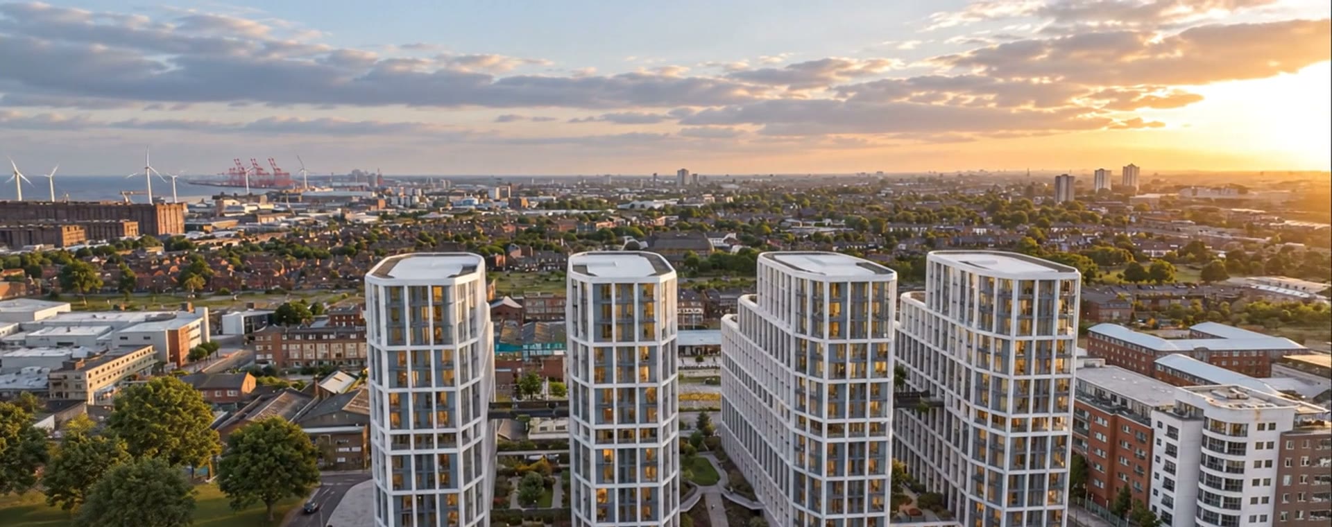
Aerial view of The Gateway's four towers with Liverpool beyond, CGI
Location

Between the business district and the waterfront.

The Gateway stands on Leeds Street, one of the city's main arterial roads, at the centre of Liverpool's Northern Quarter regeneration zone. Castle Street's restaurants, the Cultural Quarter and Liverpool John Moores University's City Campus are all close by, and Leeds Street runs down to the River Mersey.
CGI, indicative
Approximate straight-line distances

Places nearby, across the city.

LJMU City Campus, Byrom Streetapprox. 400m
Central Business Districtapprox. 500m
Moorfields stationapprox. 550m
Walker Art Gallery, Cultural Quarterapprox. 650m
Mersey waterfront, end of Leeds Streetapprox. 850m
Liverpool Lime Street stationapprox. 900m direct services to London
Liverpool ONEapprox. 1.1km
Hill Dickinson Stadium, Bramley-Moore Dockapprox. 1.6km

Approximate straight-line distances from Leeds Street, from scheme location information, September 2026. Walking routes are longer.

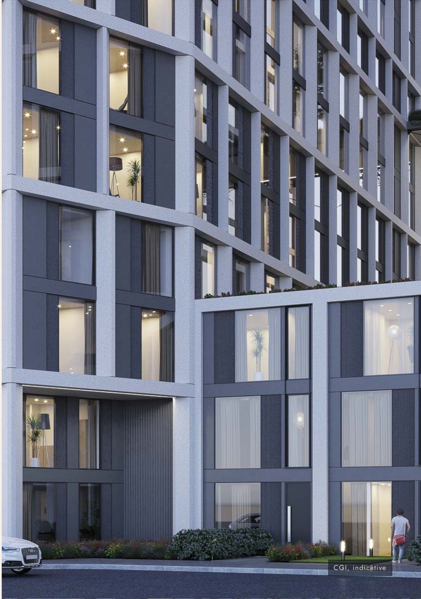
The Gateway tower facade at street level, CGICGI, indicative
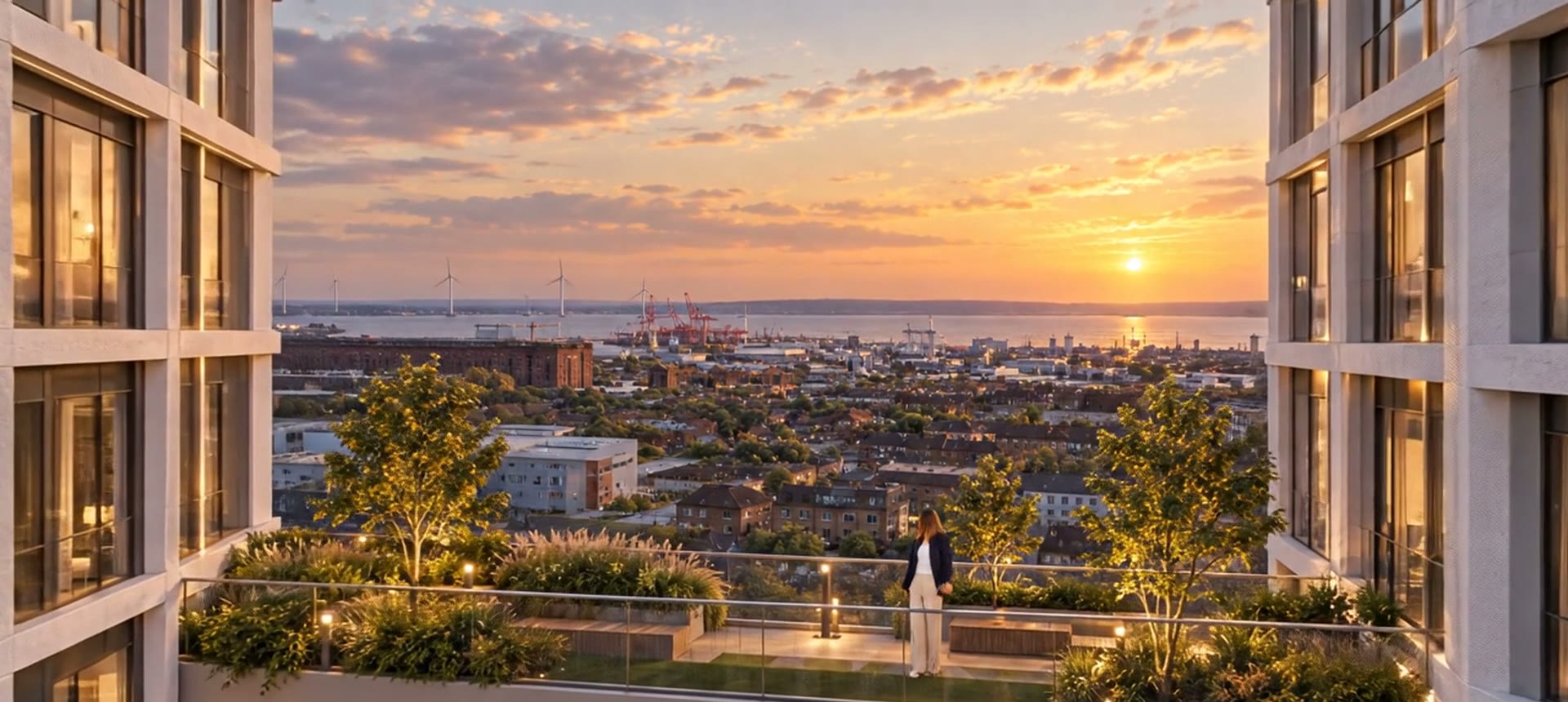
View from the sky bridge that vary by apartment, floor and orientation, CGICGI, indicative
The view

North-west, over the river, to the Irish Sea.

From the upper floors and the sky bridges the outlook runs across the rooftops of the northern docks, past the Stanley Dock warehouses and the cranes at Seaforth, to where the River Mersey widens into the Irish Sea with the Wirral shore low on the horizon. The Meridian Collection apartments from the tenth floor upwards are the ones that take the long view.

The Meridian Collection
The map

Freemason's Row, Leeds Street, Liverpool L3 2DJ.

Map by OpenStreetMap contributors. The virtual flyaround of the area is part of the 15-minute video call. Book one.